Stage 8: Kultaa - Strömfors Ironworks 31 km
The route’s paddling stage with the most wilderness starts from Kultaa. There are two route options. The narrower channel runs along the Piuhanhaara branch, while the wider route follows first the main branch of the Kymijoki River and later the Hirvikoskenhaara branch. Both route options are slow-flowing. At this point, the paddler is in a completely wild environment, with good chances of spotting, say, a grey heron or a big eagle.
After about 6 kilometres, the river joins the small Lake Hirvijärvi on the right, and at the same point, but on the left bank of the river, is the Valkmusa National Park run by the Metsähallitus (Finnish Forestry Agency). There is a 2.2-km-long nature trail in the area. The route also includes a bird tower. The start of the nature trail can be reached by walking about 1.4 km south along the road that crosses the Hirvivuolle dam, where there is a signpost to the trail.
NOTE: When approaching the Hirvivuolle dam from upstream, choose the right edge of the riverbed to avoid getting caught in the sluice gates. On the right side of the dam is a flat cliff, where the landing is done. The canoe must be carried over the road crossing the dam or along the canoe tow bar made in the dam.
Below the Hirvivuolle dam begins a paddling stage that includes several small stream sections and ends with the Vaskovuolle, a continuous, easily paddled stretch of stream over a kilometre long. At the end of the stream section is the whitewater Hirvikoski rapids. The landing site is marked on the ground to the right of the bridge. This is also the starting point of a well-maintained path, along which it is easy to carry the canoe past the rapids. The distance to be covered is about 100 m.
The Hirvikoski rapids are about a kilometre long and have a drop height of 1.3 metres. The water flow in the 70-m-wide channel is between 60 and 270 m3/s. The character of the Hirvikoski rapids is very much influenced by the flow and the drop height. In spring, the rapids are classified as class III at peak flow, but in low flow periods (below 100 m3/s) they are classified as class I - II. The rapids can be laterally split in half. The left half is shallow and rocky. A large stopper forms at the edge of the cliffs and the main stream. During high water, the stopper is difficult and getting out can be a problem. For those travelling by open canoe, it is recommended to bypass this over land.
PLEASE NOTE: The choice and decision of which route to take is always the responsibility of the paddler. The self-guided hiker must assess the situation on the spot on the basis of his own observations.
From Hirvikoski rapids, the canoeing section continues as a wide and steady stream through wide fields. There are also plenty of settlements and cottages along the route. As the river flows through a rural village area, there are also other users. A good example of this is the river areas marked with official route markers. This means that motor boats are also used on the river, so a degree of caution is in order. Paddling-wise, the stage is easy. There are a few smaller areas along the route where the speed of the flow increases. Towards the end of the stage, there are again large islands in the river, which you can choose your own route around. The actual canoeing route is laid out along the smaller channel on the right. With this stretch you can get a sort of "deep river" feeling.
Next up is Lake Tammijärvi. If you intend to take a break before crossing the fjard, turn right at the junction of the river and the lake. The Antinranta beach and rest area is on the side of Lake Tammijärvi, 200 metres to the right of the river mouth at the bottom of a small bay. Antinranta has good camping sites and is therefore a suitable place to stay overnight.
The only real lake section of the route starts at Antinranta. Lake Tammijärvi is a lake expansion about 4.5 km long and 1.5 km wide. The lake is already so large that it is difficult to observe the exact route line to the opposite shore from the fjard. To get a clearer idea of the route, it is advisable to take the GSM mast, which is visible directly to the south, as your landmark and paddle towards it.
When leaving Antinranta, there are extensive mucous membranes (aquatic plants that reach the surface) in the lake on the initial stretch, which impairs the canoe's passage. If possible, it is advisable to head towards the middle of the lake from the start, which will help you get rid of aquatic plants quicker). About a kilometre and a half from the starting point, the lake deepens and the aquatic plants disappear. After two kilometres of paddling, there is the Koivuviikki fireplace run by Pyhtää municipality. It is located on the eastern shore of the lake, near the first major cliffs.
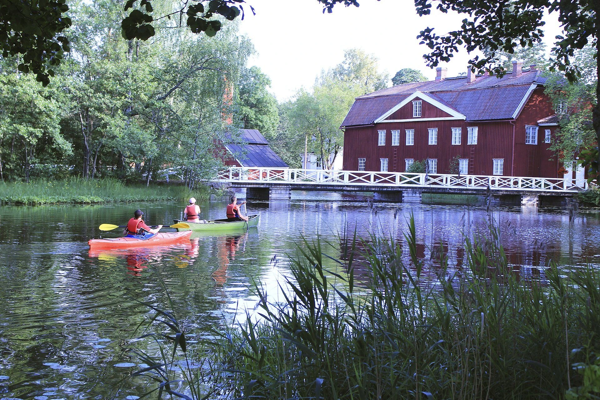
Quite soon after crossing Lake Tammijärvi, you reach the end of the route at Strömfors Ironworks.