Stage 7: Inkeroinen - Kultaa 22 km
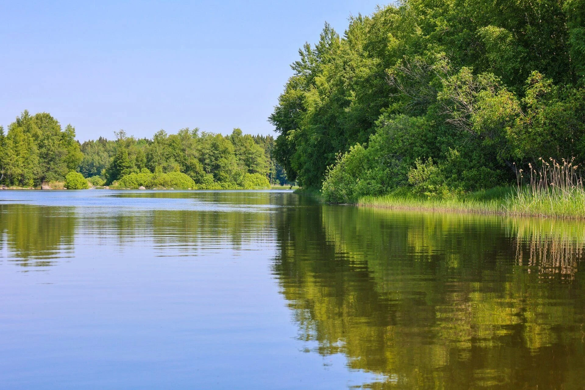
The first leg of the Kymijoki River starts from the Inkeroinen ferry landing. The river is wide at this point and flows slowly, so it's nice to paddle along. After 3 kilometres, the first rapids section, Piirteenkoski, is ahead. A boat path runs along its left edge, along which you can safely descend. Pretty much immediately after the rapids is the first rest point of the stage, Huhdanniemi. From the rest stop onwards, the river is wide and almost flowless all the way to Susikoski rapids. At this stage, about 10.5 km have been paddled. The Susikoski café on the banks of the lake offers a nice break for paddlers. Susikoski itself is a deep and fairly flat rapids. There are some fairly strong eddies, so paddlers should be careful.
From Susikoski rapids you start a 3-km-long, slightly more flowing section of the trail. The route has one small rapids section with a clear and easy descent. After a couple of kilometres of backwater, there is a rest point at Kuovinkallio. From the rest stop, the first strong rapids area begins. The first contact with this stage should be made from the Kuovinkallio lookout point, which is located in the immediate vicinity of the starting point and offers a great view of the Päijänteenkoski rapids and Keskikoski rapids.
The actual canoeing route runs along the Keskikoski rapids, but you can choose another route. There are several large islands at the top of the Ahvionkoski rapids, between which you can paddle from anywhere. In terms of flow conditions, all the routes between the islands are quite similar. The flow is steady and there are no whtiewater rapids. All the waterways are wilderness in terms of landscape type. The actual rapids are at the very bottom of the area, where the Ahvionkoski splits into two branches. The Kotokoski rapids I-I+(II) on the west (right) is wider and rockier than the Martinkoski rapids I-I+ (II) on the east. If there is enough water, the Kotokoski rapids will be easier to descend. Martinkoski rapids has fast-flowing water and easy but big waves. Martinkoski rapids is deep and there is no danger of collision. High waves in the rapids, on the other hand, are difficult for an open canoe because they can bring water in or tip the canoe over.
PLEASE NOTE: The choice and decision to calculate the route is always the paddler's own responsibility.The routes in this guide are always RECOMMENDATIONS, never absolute truths. The self-guided hiker must assess the situation on the spot on the basis of his own observations.
A groove runs along the left edge of the rapids, along which it is possible to cross the rapids by land carrying the canoe. The distance is about 100 m.
After the Ahvionkoski rapids, paddlers can choose between two different routes. Following the river's main channel, after a couple of kilometres of backwater meandering, you reach the Kultaankoski rapids, in the middle of which there is a rest stop and the Erämys-Keisarinkoski adventure experience centre. By following the left bank, you can easily and safely bypass the rapids' only strong-flowing part. After the Ahvionkoski rapids, paddlers can also choose the right-hand paddling route along the Piuhanhaara branch. This branch is much narrower and there are three smaller points of flow along it. On the banks of the streams, piles of stones show the area's history of reclamation. Halfway down the Piuhanhaara, the paddler turns left and paddles to the rest point in Kultaa.